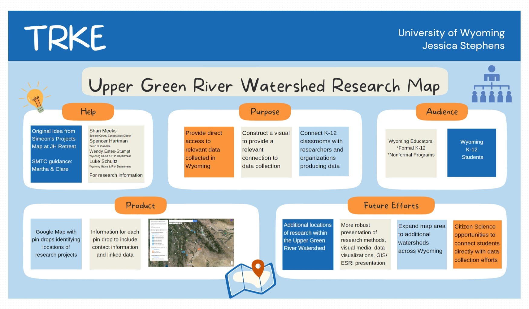
Jessica Stephens from the University of Wyoming has developed an interactive map detailing various research projects throughout the Upper Green River Watershed. This map serves as a vital educational tool, providing direct access to geospatial data collected in Wyoming.
Project Overview
The Upper Green River Watershed Research Map was conceived to bridge the gap between K-12 education and active research within Wyoming. By leveraging Google Maps, the project pinpoints locations of ongoing research, facilitating a visual and interactive learning experience.
Interactive Map Features
The map includes pin drops that identify locations of research projects. Each pin provides additional information such as contact details and links to relevant data, making this a comprehensive resource for educators and students alike.
Benefits to Educators and Students
By connecting classrooms with real-time research data, the map enhances educational programs and encourages active engagement with environmental science. It is particularly valuable for programs focusing on ecology, hydrology, and climate science.
Future Directions
The project aims to include more locations and detailed data presentations. Future enhancements will also focus on expanding citizen science opportunities, allowing students to contribute directly to ongoing research efforts across Wyoming.
Explore the Map
Discover more about the research projects within the Upper Green River Watershed by visiting the interactive map:
Upper Green River Watershed Research MapContact for More Information
For more details about the map or to get involved with the Upper Green River Watershed research projects, please reach out to the TRKE program coordinators.
